
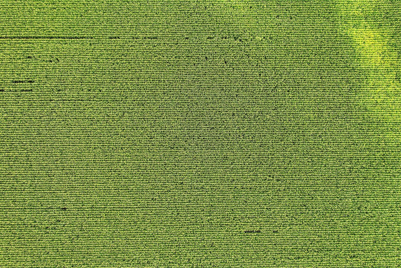

NASA and the U.S. Department of Agriculture have signed an agreement to examine how space-based technologies can support American agriculture. Announced on October 26, 2026, the cooperation will bring together the USDA’s expertise in farming, agricultural statistics and food security with NASA’s work in Earth observation, scientific data and advanced computing.
According to the NASA announcement, the agreement creates a framework for studies and possible joint projects involving agricultural statistics, remote sensing, modeling, geospatial data engineering and artificial intelligence. The initiative is focused on evaluating ways to apply these capabilities to challenges affecting agriculture in the United States.
How satellite data could support agriculture
Satellites provide a broad view of farmland and environmental conditions across the country. When combined with geospatial databases and analytical models, Earth-observation information can help public agencies examine changes across rural areas, compare conditions between regions and improve the availability of data used in agricultural planning.
The agreement does not announce the immediate launch of a specific platform or service. Instead, it establishes a basis for the two agencies to assess activities together and identify where NASA’s scientific and technological capabilities may complement the USDA’s operational responsibilities.
This distinction is important because the value of the partnership will depend on how research, data systems and potential applications are developed over time. The announcement points to cooperation in several technical fields, but it does not provide a schedule for a nationwide product, a finalized software system or a new public-facing tool.
Artificial intelligence and geospatial information
Artificial intelligence can help analyze large volumes of information collected from satellites and other sources. In agriculture, such systems may be used to organize observations, identify patterns and support models that interpret environmental or production-related conditions. The agreement places these possibilities alongside remote sensing and geospatial engineering, indicating an emphasis on combining data infrastructure with analytical tools.
NASA already works with Earth-science data and technologies designed to interpret complex environmental information. Its Technology News resources describe the agency’s broader efforts to develop and apply advanced technologies, including systems connected to observation of the planet. The USDA, meanwhile, brings a direct connection to agricultural statistics, production and federal programs related to the nation’s food system.
Bringing these areas together could give government researchers a more integrated way to study farmland and changing conditions. It may also support more consistent use of data across different agricultural regions, which vary in climate, crops and monitoring needs. The agreement itself, however, should be understood as an opportunity for collaboration rather than evidence that those applications are already operating at scale.
A national initiative with practical implications
The potential reach of the cooperation is national. American agriculture extends across regions with different landscapes, growing conditions and production profiles, making broad geographic information especially relevant to federal agencies. Satellite observations can provide a common view of territory that is difficult to obtain through ground-based monitoring alone.
For policymakers, improved access to geospatial analysis could strengthen the information used to understand agricultural conditions and plan public action. For researchers, the partnership may create opportunities to connect NASA’s Earth-science capabilities with USDA datasets and sector-specific knowledge. The announcement does not specify which crops, states or individual programs would be prioritized in future work.
The collaboration also reflects a broader shift in how government agencies use digital infrastructure. Space technology is increasingly relevant beyond rockets and missions: satellite sensors, data platforms, models and artificial intelligence can contribute to decisions involving land, climate and economic activity. In this case, agriculture is the area where those capabilities may be tested and evaluated through cooperation between two federal institutions.
What comes next
The next phase will involve determining which studies or joint activities are technically and operationally useful. Areas named in the agreement include statistics, remote sensing, modeling, geospatial data engineering and artificial intelligence, but the public announcement does not identify a detailed project list or implementation timetable.
That leaves the immediate outcome centered on coordination and assessment. NASA and the USDA now have a formal structure to explore how scientific information from space can be connected to agricultural expertise and government decision-making. Any future tools, datasets or services will depend on the results of that work and on decisions made in subsequent projects.